Award-Winning Wildfire Hazard Reduction and Resource Management Plan
Wildfire Hazard Reduction and Resource Management Plan and EIR | Alameda and Contra Costa Counties, CA
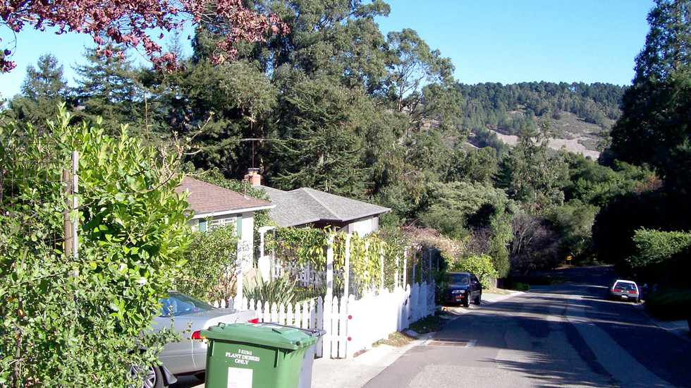
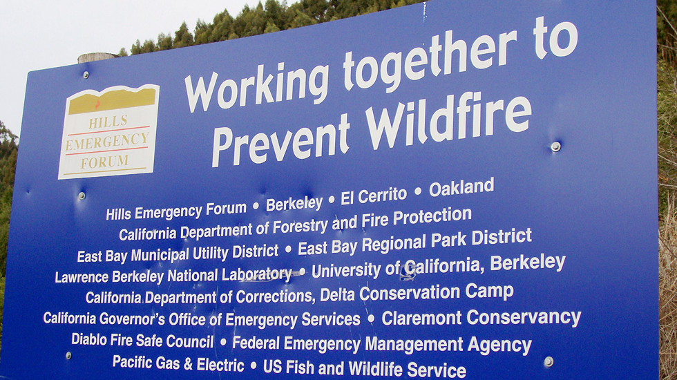
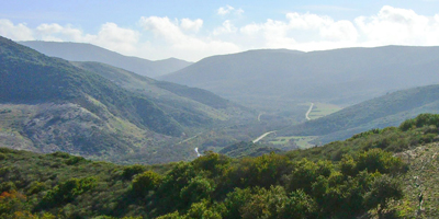
Wildland/urban interface wildfires are a fact of life for the East Bay Hills, with the 1991 Oakland/Berkeley fire being only one during a 75-year history of fire disasters. LSA was selected by the East Bay Regional Park District to prepare an updated and comprehensive Wildfire Hazard Reduction and Resource Management Plan that is based on sound fire-science concepts and an Environmental Impact Report (EIR) that evaluates the plan. This project focuses on 13 East Bay hills parks ranging from Sobrante Ridge in El Sobrante to Lake Chabot in Castro Valley, and two shoreline parks with wildfire hazards (Point Pinole and Miller-Knox). As part of the project, LSA conducted a comprehensive wildfire hazard and natural resource assessment of all the parks to characterize and categorize the variety, type, and density of vegetation and natural resource features present in each park.
The program EIR was designed to fully inform the East Bay Regional Park District decision-makers, the Plan implementers, other responsible agencies and stakeholders (including adjacent wildland landowners, the University of California, and the East Bay Municipal Utility District, fire districts, and jurisdictions), and the general public of the potential environmental consequences of the Plan’s approval and implementation as well as the potential consequences of not taking fuel reduction actions due to the potential for the continuing occurrences of wildfires in the East Bay hills.
SELECT PROJECTS
Monterey Bay Sanctuary Scenic Trail
Moss Landing, CA
Iron Horse Trail
Pleasanton, CA
Wildfire Hazard Reduction and Resource Management Plan and EIR
Alameda and Contra Costa Counties, CA
Aliso and Wood Canyons Wilderness Park
Orange County, CA
San Francisco Bay Trail: George Miller Regional Trail
Contra Costa County, CA
