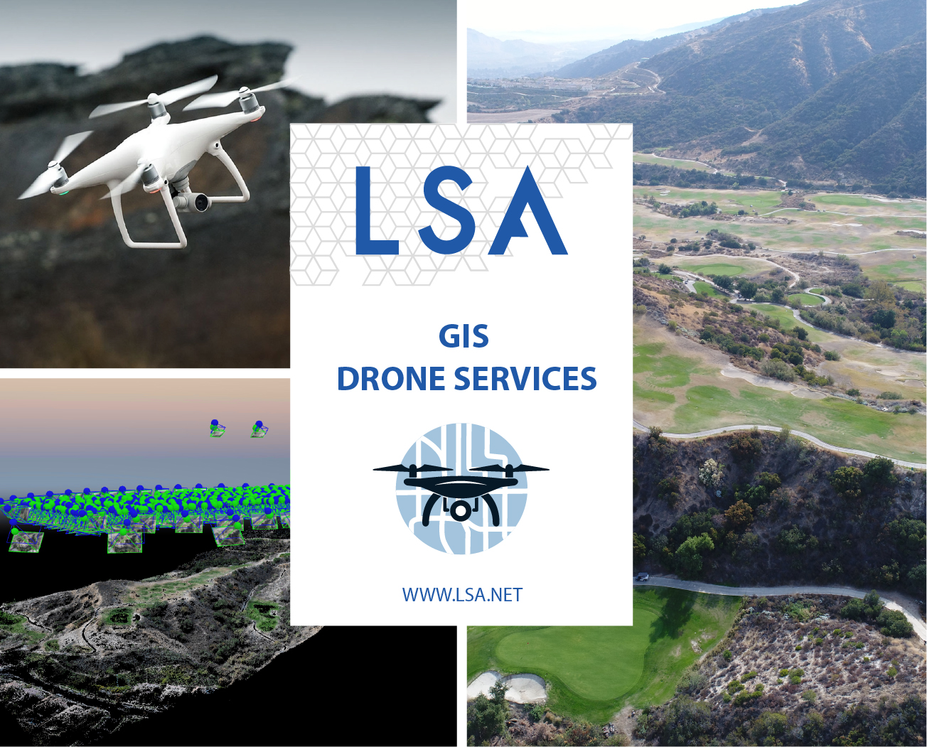
GIS & Drones at LSA!
LSA’s geographic information system (GIS) practice provides comprehensive solutions to meet your specific needs. From applications and websites, to spatial analysis and global positioning system (GPS) and drone services, to modeling and training, LSA delivers. LSA Drone Imagery to provides…


